Construction & Engineering Surveys
Wagga Surveyors and Albury Surveyors
GPS Machine Guidance
There are enormous time saving and therefore economic benefits of GPS machine guidance for surface regrading and civil works. GPS Machine Guidance Surveying involves the preparation of design plans and Digital Terrain Models (DTM) for proposed surface regrading and civil works on MGA coordinates and Australian Height Datum (AHD) levels.
Our team can create surface models and designs tailored to specific cut/fill requirements. We utilise 12d software to provide data in easy-to-read plans suitable for direct upload to machine guidance equipment.
These surveys should always be prepared and monitored by a qualified Surveyor for quality assurance.
Rivland are specialists in TRIMBLE and TOPCON data preparation.
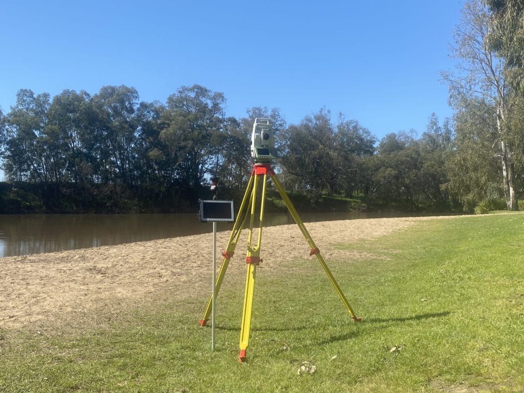


Set-Out Surveys
Set-out surveys enable a construction team to build exactly what has been designed, as pegs are physically placed to provide off-sets, mark locations and to set out routes of the proposed works to ensure accuracy in relation to the boundaries and in accordance with approved Council Plans
Set-Out surveys are required for earthworks, roads, car parks, sewer, water and buildings from single homes to large commercial buildings.
Existing Condition & underground services Surveys
Locating and mapping the location of services hidden underground like electric & telecom cables, sewer, gas and water mains are essential in the planning process of any works to protect personnel and ensure business continuity throughout construction.
After these items have been located, they can be field mapped onto a site plan by physically measuring and providing off-sets from landmarks or buildings to assist with construction.
Works-As-Executed (WAE) & Conformance Reports
Work As Executed Survey (WAE) or As-Built Surveys are usually required by council once construction work is completed. These surveys compare the constructed positions and levels with the design plan to confirm accuracy. They must be signed by a Registered Land Surveyor to confirm the approved design plans match up with the final works.
Volume Surveys
Volume Surveys establish how much cut or fill may be needed for a site, or the amount of material that has been withdrawn from or placed onto a site. These calculations can be done for large stockpiles or landfill projects, as well as construction projects which include major earthworks.